
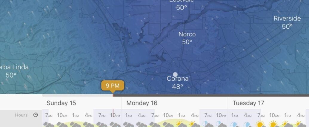
Rain and mountain snow are expected to return to Southern California tonight and into Monday, though the National Weather Service predicts fewer showers Monday afternoon through Tuesday morning.
Saturday's storm brought more damaging, record-breaking rainfall to some areas, resulting in downed trees and rescues.
Rainfall totals of a half-inch to one inch are expected along the coast, with foothill and mountain regions receiving 1-2 inches through Tuesday.
Snowfall accumulations of 5-10 inches are possible at elevations of 6,000 feet or higher. Snow is also expected at elevations ranging from 4,500 to 5,500 feet.
A winter storm warning is in effect for areas above 5,000 feet in elevation, which includes Lake Arrowhead, Big Bear, Running Springs, and Wrightwood. Travelers to and from the San Bernardino Mountains should expect strong winds and poor visibility.
“If you plan on traveling, there is potential for snow at the Grapevine I-5 corridor” Monday and Tuesday morning, the NWS said.
The impending storm could cause hazardous driving conditions, downed tree limbs, isolated power outages, and mud and rock issues on roads in steeper terrain. While rain is expected to cause swollen rivers and streams, the NWS predicts only minor flood risks.
The SoCalTelevision Traffic page has the most up-to-date information on road conditions and closures.
Dangerous seas, high surf, and strong rip currents will also be present through the middle of the week.
Winds from the south are expected to gust to 25-50 miles per hour, with gusts shifting westward.
The most powerful breakers will be on west-facing beaches, with 6-10 foot waves in Los Angeles and Ventura counties and 8-14 foot waves on the central coast.
The NWS predicts that by Tuesday afternoon, dry, breezy, and cool weather will take over and last the rest of the week.